When Far Rockaway Became a Village
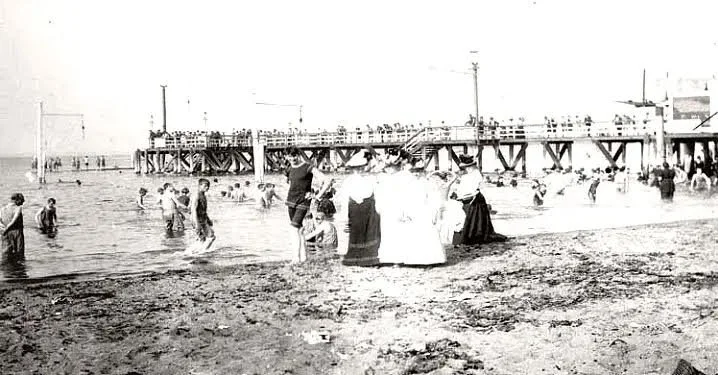
Far Rockaway’s incorporation as a village marked a turning point in its development from resort edge to organized community with institutions, streets, and local identity.
Bowery Bay and the Poor Bowery: Queens Before the Airport
Before LaGuardia Airport, Bowery Bay was a landscape of colonial farms, mills, orchards, shoreline estates, and the Dutch poor farm known as the Poor Bowery.
The Ferry and the Forgotten Places
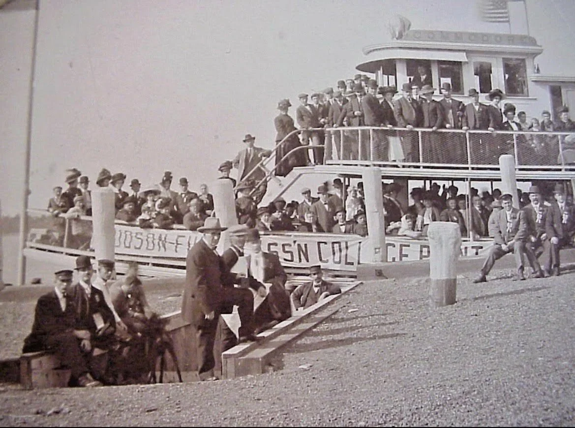
Some transportation histories leave landmarks. Others leave only traces. This article recovers forgotten ferry routes and vanished connections that once shaped how Queens neighborhoods related to one another.
Hunter’s Point to Rockaway
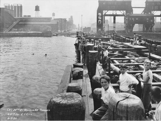
From Hunter’s Point to the Rockaways, ferry service helps reveal where Queens is being redeveloped, revalued, and reconnected. The waterfront is no longer just an edge—it is increasingly treated as a front door.
The Return of the Ferry
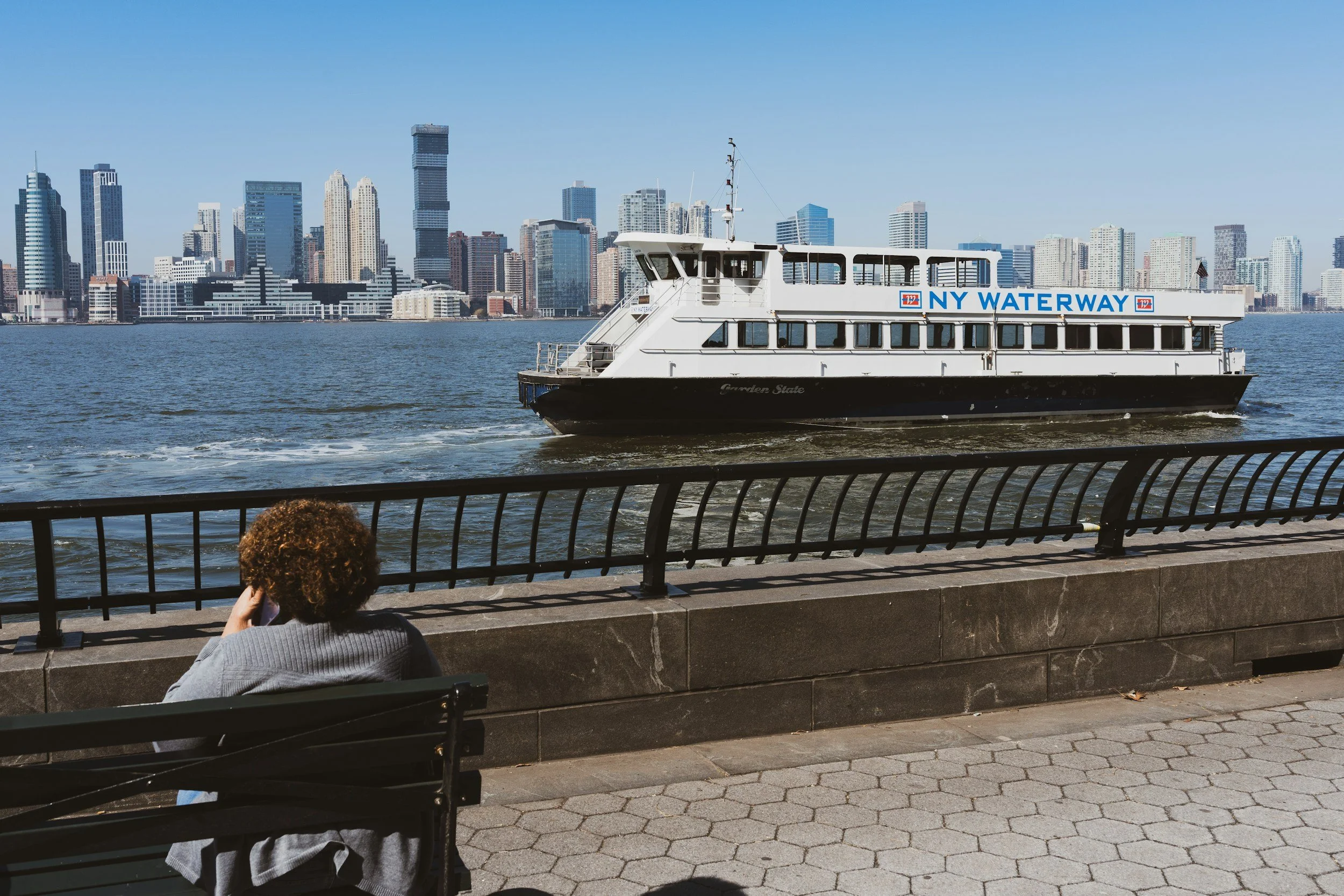
The ferry is back in Queens, but not in the same city it once served. This article looks at what modern ferry service reveals about growth, class, commuting, and waterfront redevelopment.
When Bridges Killed Ferries
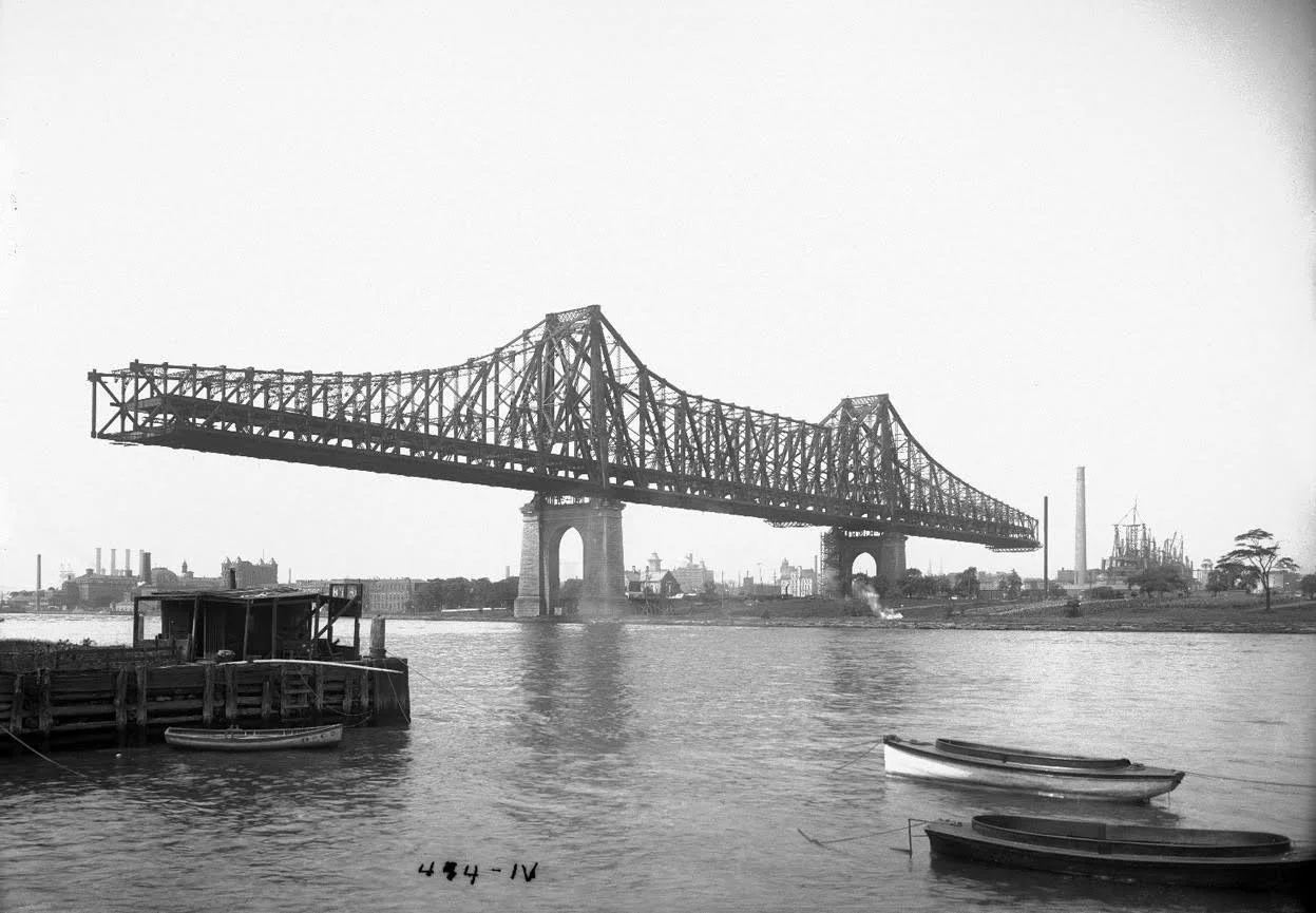
Ferries once structured daily life along the Queens waterfront. Then bridges, tunnels, and rail transit arrived, changing land values, movement patterns, and the shape of the borough itself.
The Water Was the First Street
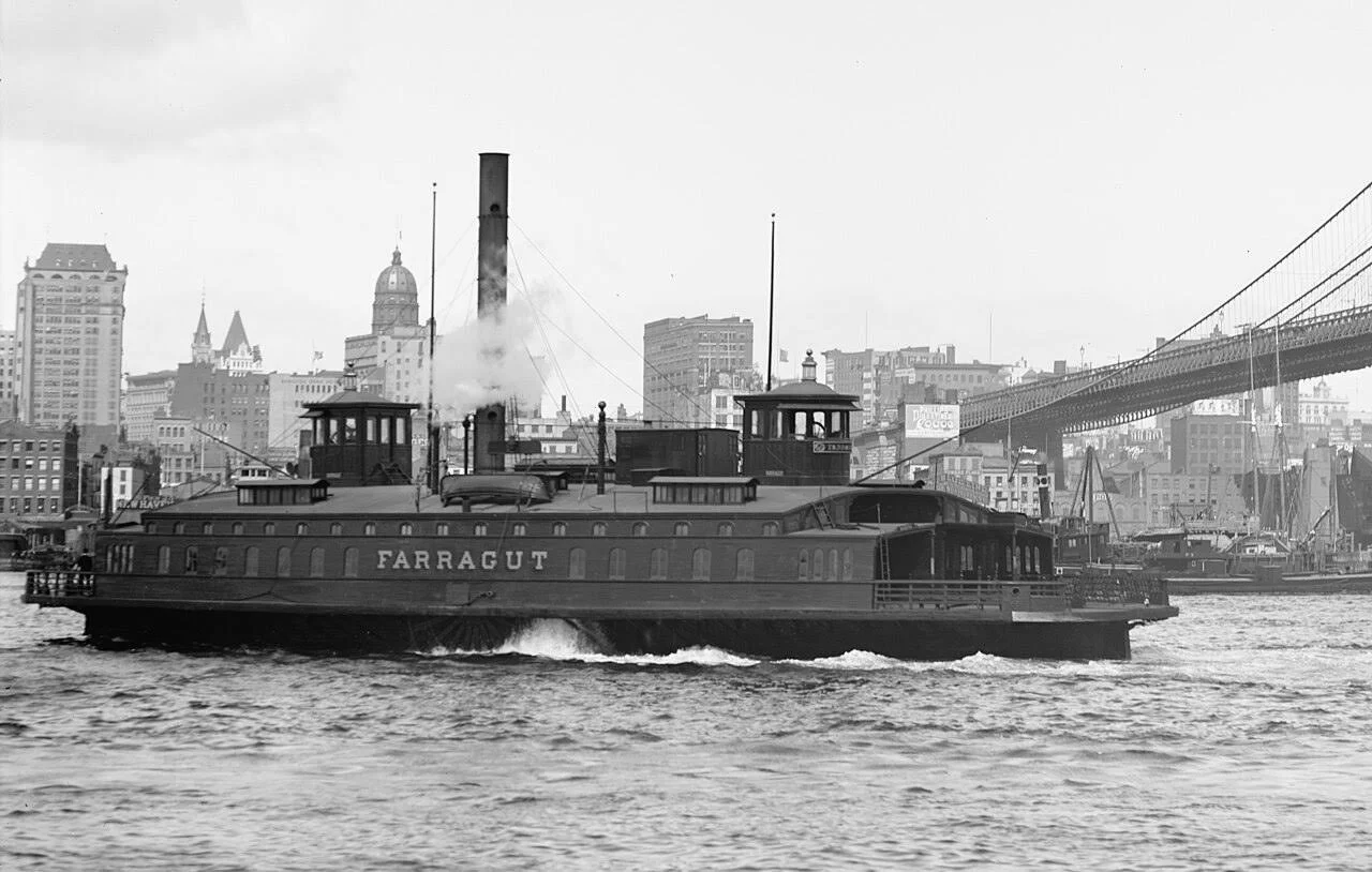
Long before bridges and subways reorganized Queens, ferries and shore landings connected its early communities to trade, work, and city life. This article explores how water functioned as the borough’s first transportation network.
Queens in Motion
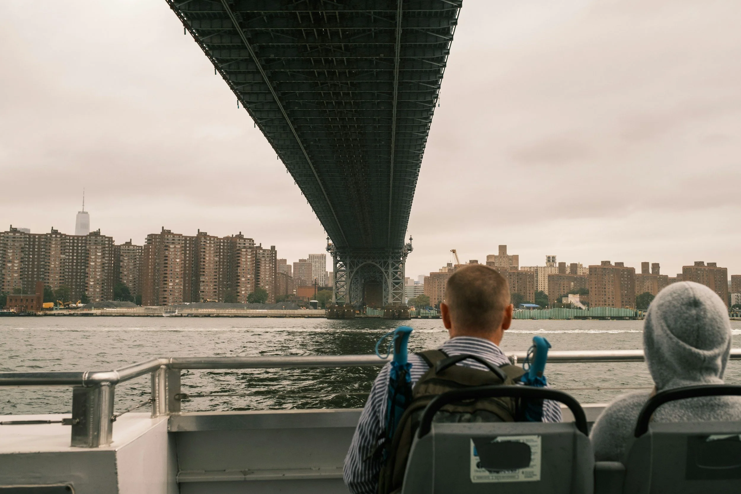
A six-part Queens history series exploring how ferries, bridges, railroads, subways, and waterfront development shaped the borough from early settlement to the present.
The Rockaways and the Politics of Partial Connection
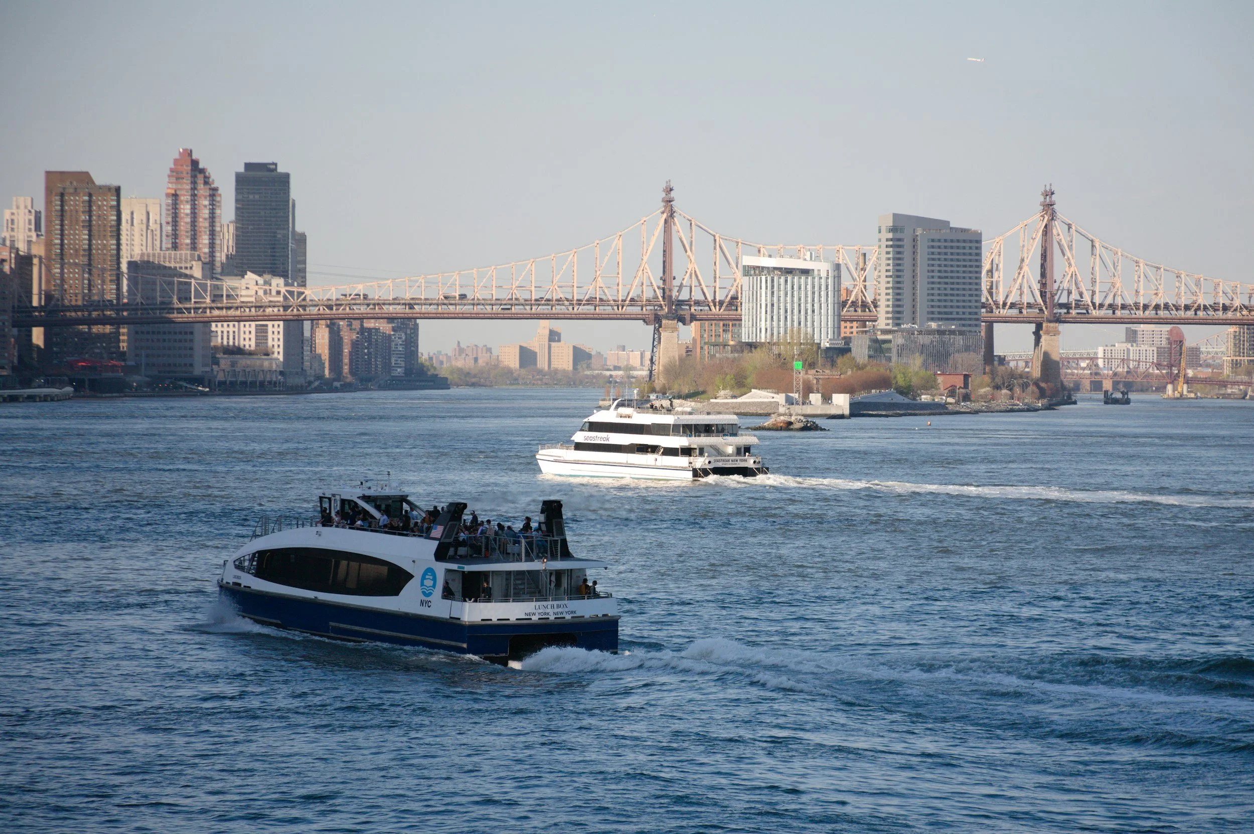
The Rockaways are often described as isolated, but their history is better understood as a pattern of repeated and incomplete reconnection. Ferries, railroads, bridges, subways, and storm recovery each changed how the peninsula related to the rest of New York.
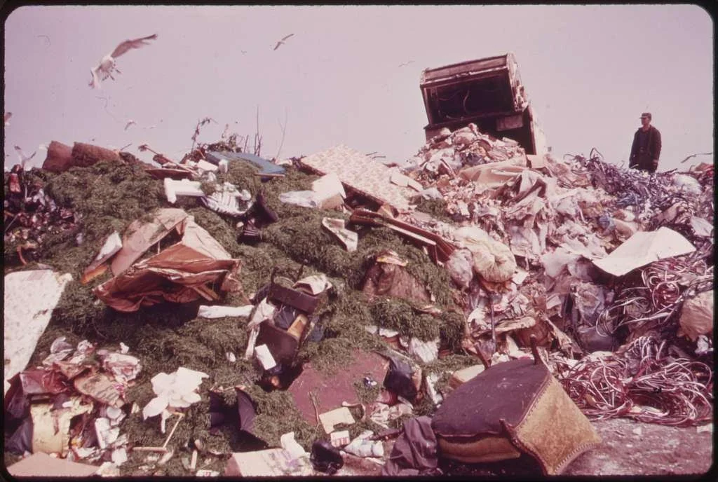
The Smell of Progress: How Jamaica Bay Became a Dumping Ground
How Jamaica Bay became New York’s dumping ground: a history of waste, marsh filling, noxious industry, and environmental inequality at the city’s edge.
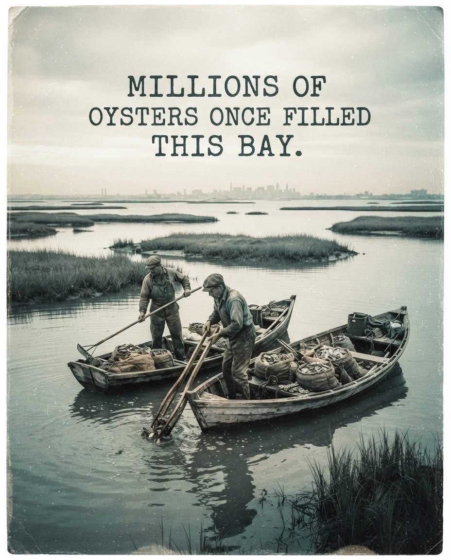
The Rise and Ruin of Jamaica Bay Oysters
Jamaica Bay’s oyster beds once helped define its economy, but pollution, disease, and urban growth turned one of the bay’s richest resources into a public-health hazard.
When Jamaica Bay Was New York’s Waterside Playground
Excerpt: In the late nineteenth century, Jamaica Bay became one of the metropolitan region’s recreational frontiers, drawing anglers, hunters, boaters, hotel guests, and summer visitors to the city’s marshy edge.
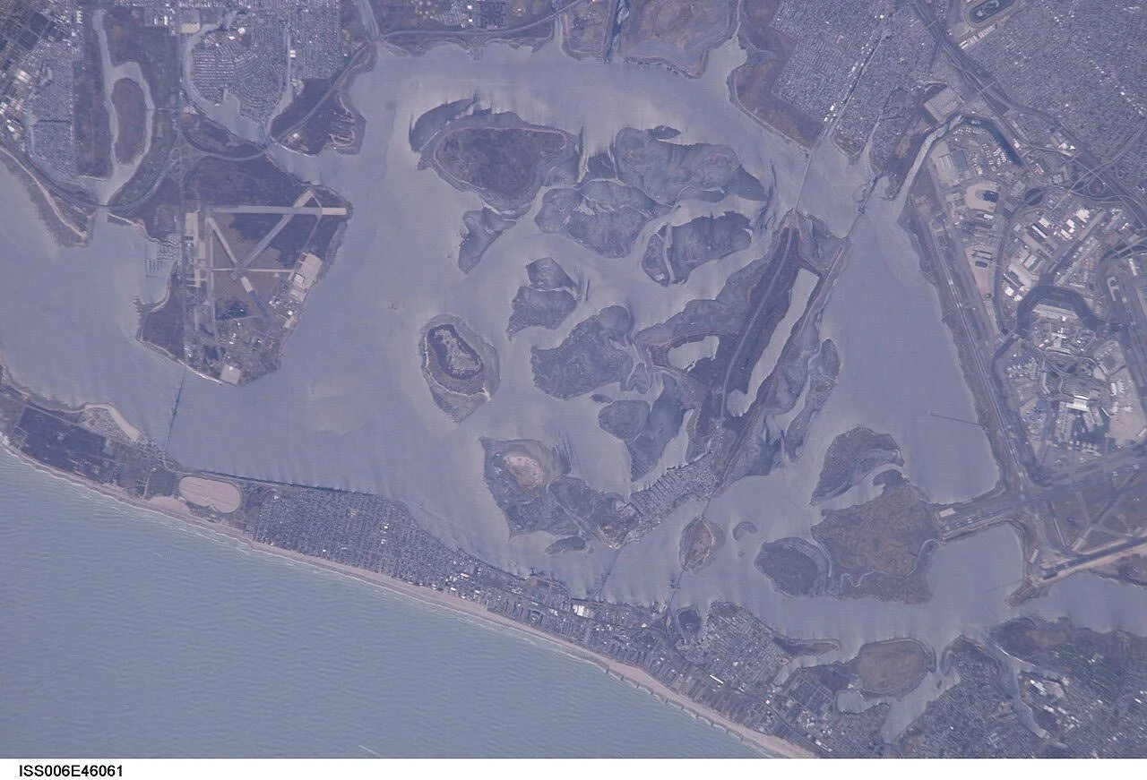
Before the Airport: The Many Lives of Jamaica Bay
Excerpt: Long before airports and parkways, Jamaica Bay was a productive estuary shaped by Indigenous use, colonial settlement, fishing, and maritime life. This article introduces the deeper history of one of New York’s most transformed landscapes.
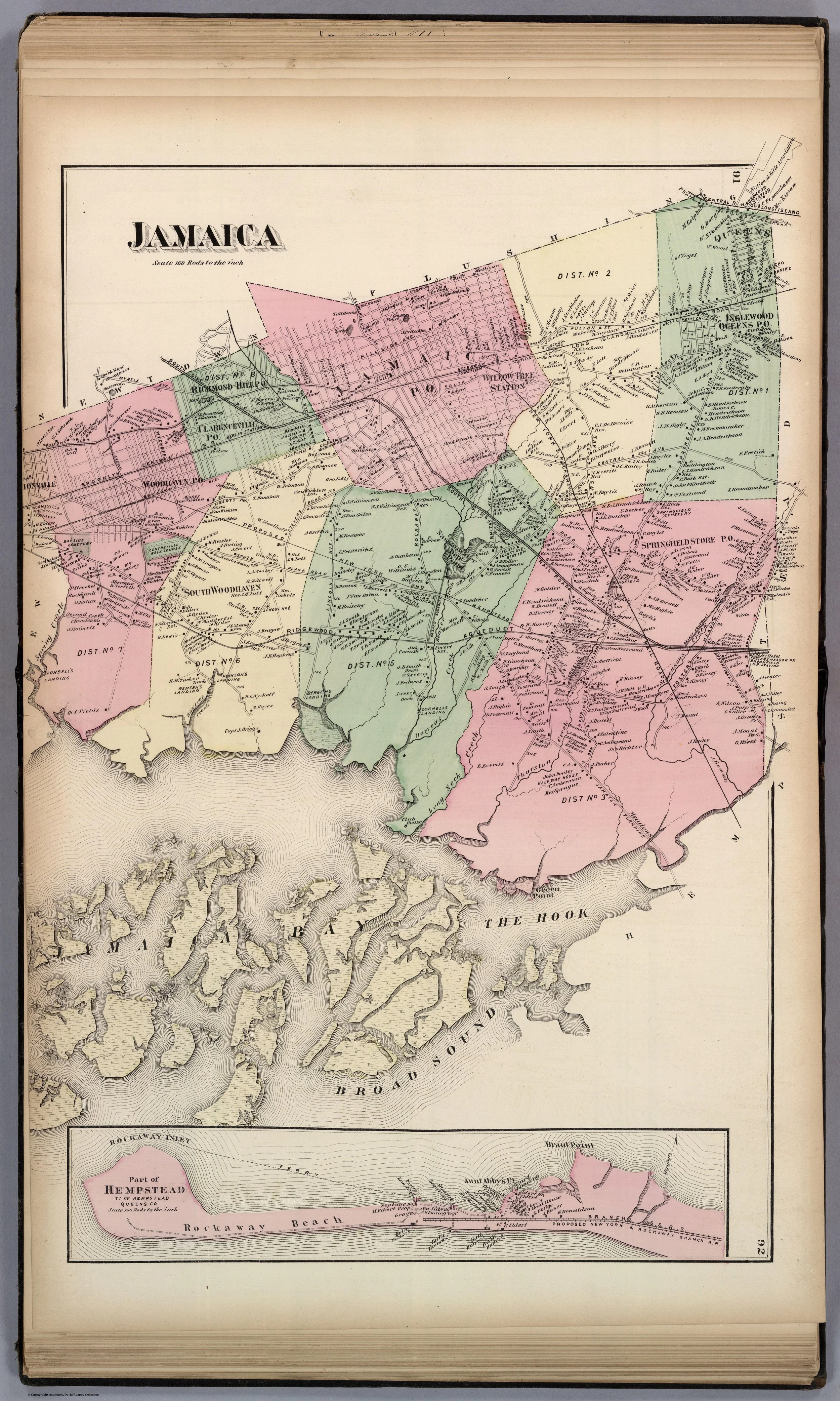
Jamaica Bay: Nature, Industry, and the Lost Edge of New York
A five-part series on the environmental history of Jamaica Bay, tracing its transformation from productive estuary to recreational frontier, oyster economy, dumping ground, and restoration landscape.
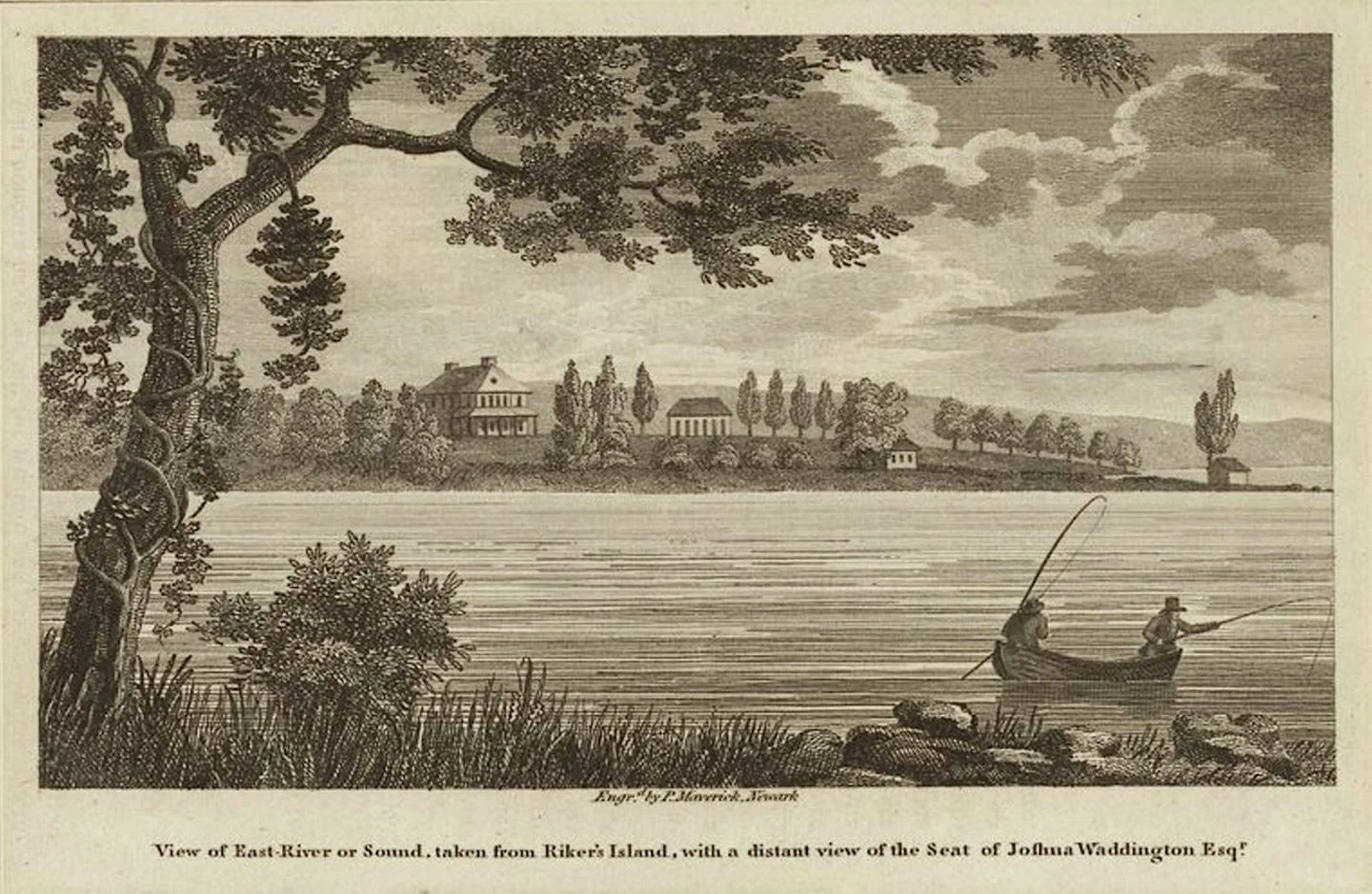
Rikers Island Before the Jail
Before incarceration defined Rikers Island, it was a colonial farm and family estate connected to Bowery Bay, the Poor Bowery, and the agricultural history of Queens.
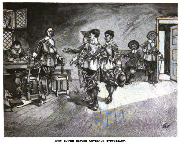
John Bowne
John Bowne opened his home in Flushing to Quaker worship, defied Peter Stuyvesant, and won a transatlantic fight that helped shape early American religious liberty.
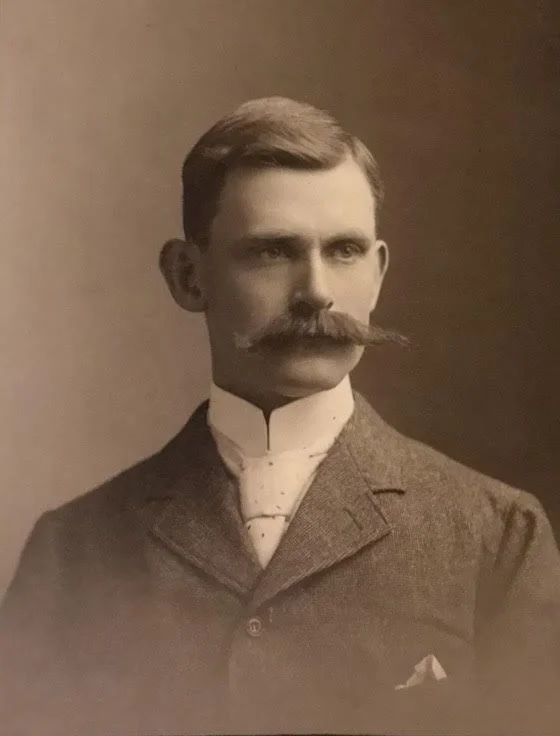
Brother Frederick T. Hallett: The Measure of an Astorian
Frederick T. Hallett was a businessman, Mason, church trustee, and civic leader whose life traced Astoria’s transformation from an old Long Island village into modern Queens.
The First House on the Sand: How the Cornells Made Rockaway
In 1690, Richard Cornell established the first permanent European homestead on the Rockaway peninsula, creating the foundation for centuries of land ownership, settlement, and local history in Rockaway, Queens.
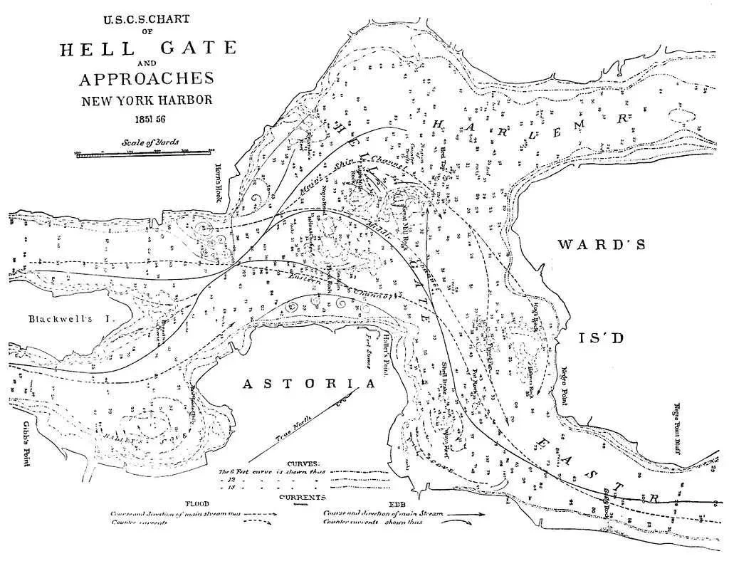
Hell Gate and Hallett’s Point
Hell Gate was once New York’s most dangerous waterway. In 1876, engineers blasted Hallett’s Point Reef and reshaped navigation, Astoria, and the Queens waterfront.
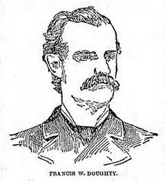
Francis Doughty and the Lost Colony of Mespat
In 1642, Rev. Francis Doughty obtained a vast patent at Mespat. War, dispute, and Dutch authority ended his colony—yet it shaped early Queens.