The Return of the Ferry
What NYC Ferry reveals about modern Queens, waterfront growth, and the city’s changing geography
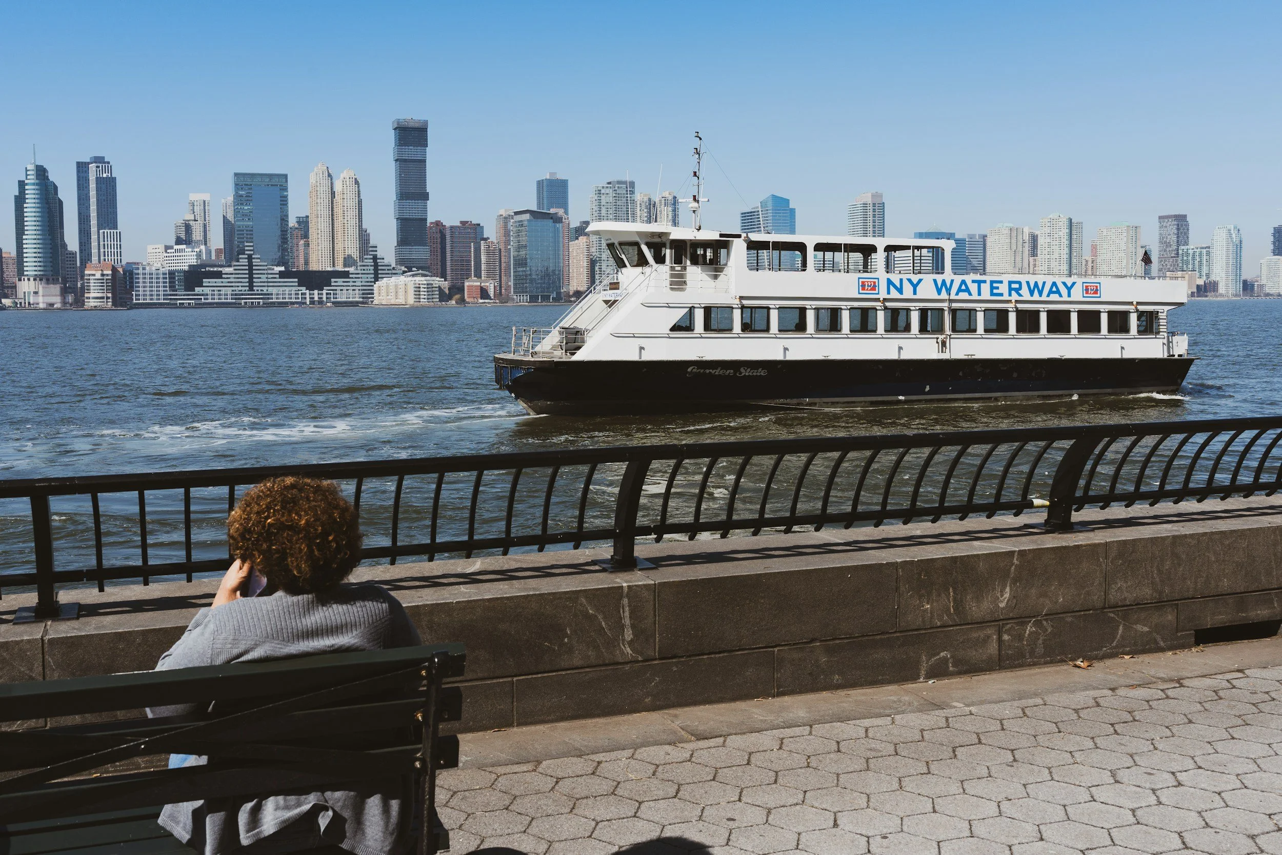
The ferry is back—but not in the same city it once served. In modern Queens, the return of water transit tells a larger story about development, inequality, commuting, and the remaking of the waterfront.
When New York brings back a ferry, it is never just bringing back a ferry.
It is making an argument about the city.
Sometimes that argument is about mobility. Sometimes it is about development. Often it is about both at once, with one motive dressed as the other. Modern cities are very good at that sort of tailoring.
The recent expansion of NYC Ferry gives us exactly such a case. On paper, it is transportation. In practice, it is also a statement about where the city believes growth is happening, where it wants investment to gather, and which waterfront neighborhoods have become newly valuable to connect.
Queens, particularly Astoria, the Rockaways, and the East River-facing districts tied to Long Island City’s orbit, sits squarely inside that story.
A New Ferry for a New Waterfront
The current NYC Ferry system grew from plans advanced in the 2010s, with major route openings beginning in 2011 for the East River service and broader city-branded expansion under the de Blasio administration in 2017 and 2018.[1] The stated case emphasized mobility, transit relief, and five-borough access. But even early commentary noticed something else.
As summarized in the NYC Ferry overview, critics argued the system was not chiefly about reaching the most transit-starved parts of the city, but about catalyzing or supporting waterfront redevelopment in places like Greenpoint, Williamsburg, Astoria, and the Rockaways.[2] That is not an insult to the system. It is a clue to its real urban function.
Ferries today do not return to the same job they held in 1820 or 1920. They are no longer the basic connective tissue of the metropolis. They are selective enhancements. They serve corridors where water access, commuter preference, neighborhood branding, and development opportunity overlap.
What the 2025 Ferry Study Shows
Justin Tyndall’s 2025 paper on New York City’s ferry service is especially useful because it moves the conversation beyond romance and into measurable effects.[3]
His findings are careful rather than theatrical. The ferry system, he concludes, did produce a statistically significant increase in commuting flows between connected neighborhoods. He estimates that ferry service increased commuting on connected routes by about 2,600 workers in the long run.[4] That is real. It is also small in the context of the city’s labor market.
But here is the more revealing point: the induced commuting growth was driven overwhelmingly by middle-to-high-income workers, not low-income workers.[5]
That finding should make us sit up.
The Ferry as a Social X-Ray
A transportation system is a kind of social X-ray. It shows which parts of the city connect easily, which groups can reposition themselves to benefit, and which official promises were more hopeful than accurate.
Tyndall finds that higher-income workers both valued the ferry more strongly and were already more likely to live along routes and in neighborhoods that aligned with ferry service.[6] In effect, the system disproportionately benefited people who were already spatially positioned to use it well.
This is the part where a person is tempted to become indignant, and sometimes indignation is warranted. But history asks for precision first. Ferries in New York have often followed value as much as they have created it. The modern system seems to do both. It serves emerging waterfront districts and reinforces the desirability of those same districts.
Queens and the East River Edge
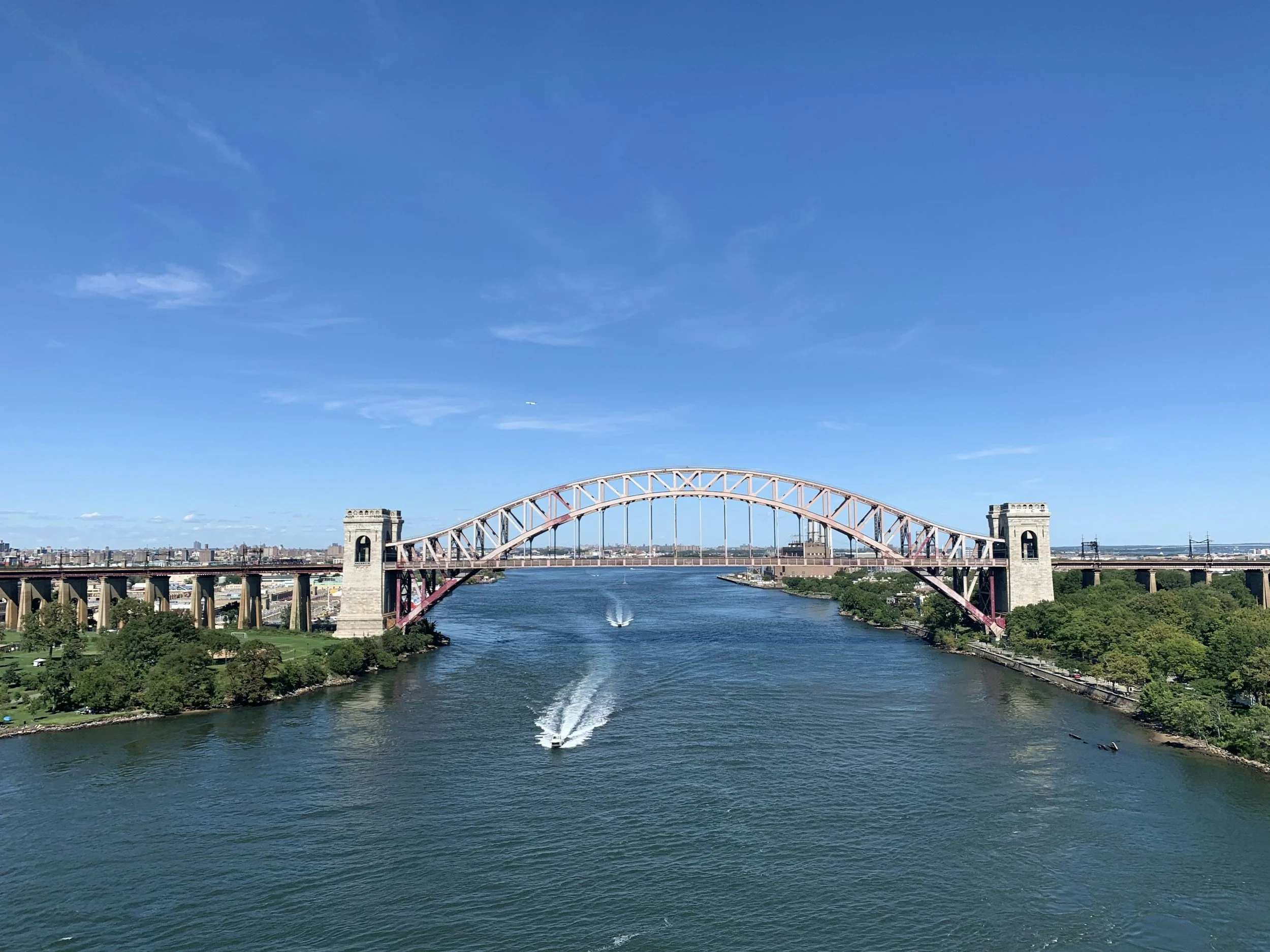
East River Waterway
In Queens, the most obvious case is Astoria and the broader western waterfront. These are places where the city’s old industrial edge has become, in whole or in part, a residential frontier. The ferry there does not merely move bodies. It adds legibility and status.
A subway line says one thing about a neighborhood: you can get there.
A ferry says something slightly different: the waterfront is part of the neighborhood’s identity and appeal.
That may sound cosmetic, but in urban development cosmetic signals become financial facts with alarming speed.
Tyndall also notes that ferry-linked tracts saw increases in resident worker populations, especially among higher-income workers and in sectors like finance, insurance, real estate, and professional services.[7] In plainer language: ferry areas attracted workers connected to better-paid occupations.
Small Transit, Big Symbolism
Numerically, ferries remain a tiny share of New York commuting. Tyndall notes that only about 0.3% of New York City commuters used a ferry as their primary mode in the 2016–2020 American Community Survey data.[8] The subway still dwarfs it completely.
And yet ferries occupy a strangely oversized place in public imagination and political branding.
Why? Because they are visible. They are photogenic. They promise choice. They flatter the city’s self-image as both historic and innovative. They imply graceful movement across water in a city otherwise famous for delays, crowding, and subterranean aggravation.
This matters in Queens because the borough has often been asked to absorb growth without always receiving proportionate transit glamour. A ferry landing is glamorous infrastructure. A bus redesign rarely is, though it may matter more to more people.
Development, Equity, and the Old Question
The debate around ferries is not really about boats. It is about equity.
The Race and Power Policy case study you found makes that critique sharply, arguing that ferry subsidies have favored areas and riders who are not the city’s most transit-dependent, while communities in eastern Queens and elsewhere could benefit more from buses, rapid transit, or fare support.[9]
That argument deserves to be taken seriously, especially in a borough as unevenly served as Queens.
But again, the historian’s task is to notice something else as well: ferries have always had a dual nature. They are transport, yes, but also urban signals. They announce where a city sees itself expanding, polishing, or reclaiming the edge.
Conclusion
The return of the ferry in Queens is not a return to the past. It is a reuse of the past’s logic under new conditions.
Water is once again being treated as a route. But now it serves a city shaped by real estate markets, inequality, zoning politics, tourism optics, and selective growth along the shoreline. The ferry tells us not simply how Queens moves, but how Queens is being remade.
That is why the ferry matters. Not because it carries everyone.
Because it reveals what the city values when deciding whom to connect.
End Notes
[1] Justin Tyndall, “Estimating Commuter Benefits of a New Transit System: Evidence from New York City’s Ferry Service,” June 10, 2025.
[2] “NYC Ferry,” Wikipedia, as provided in user search results; summary of development debates and route growth.
[3] Tyndall, “Estimating Commuter Benefits.”
[4] Ibid., event-study and route-flow estimates.
[5] Ibid.
[6] Ibid., structural model findings on higher-income worker preferences and route sorting.
[7] Ibid., tract-level worker population effects.
[8] Ibid., citing ACS commuting shares.
[9] The Institute on Race, Power and Political Economy, “A Case Study of the NYC Ferry and Fair Fares,” 2024, user-provided result.